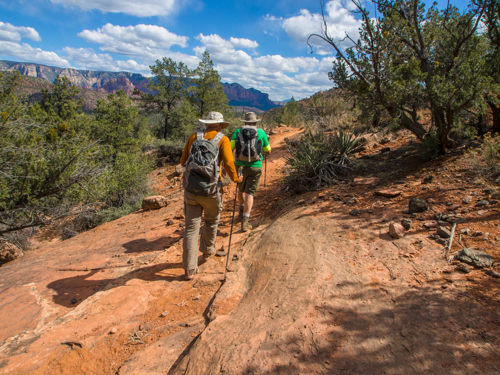
Starting near Red Rock Crossing, this route up the Pyramid, along the ridge to the wash containing the first set of polygonal formations in the area, and then up the wash across Scheurmann Mountain to use the new Scorpion Trail to return as a loop
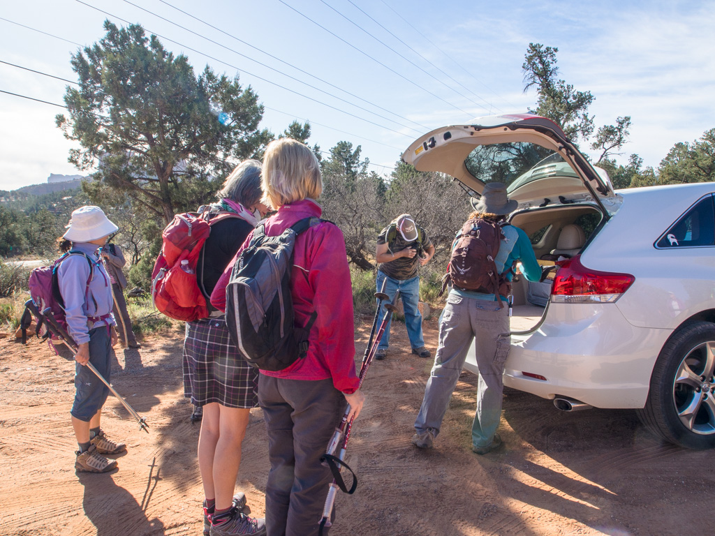
1 PYRAMIDS AND POLYGONS LOOP
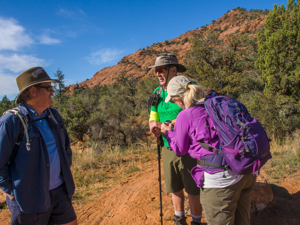
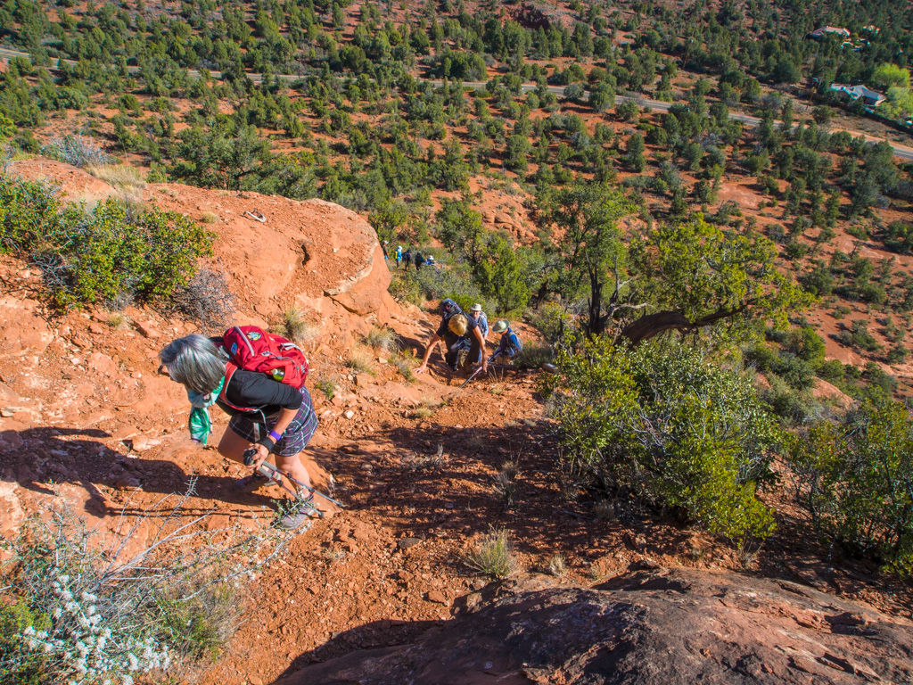
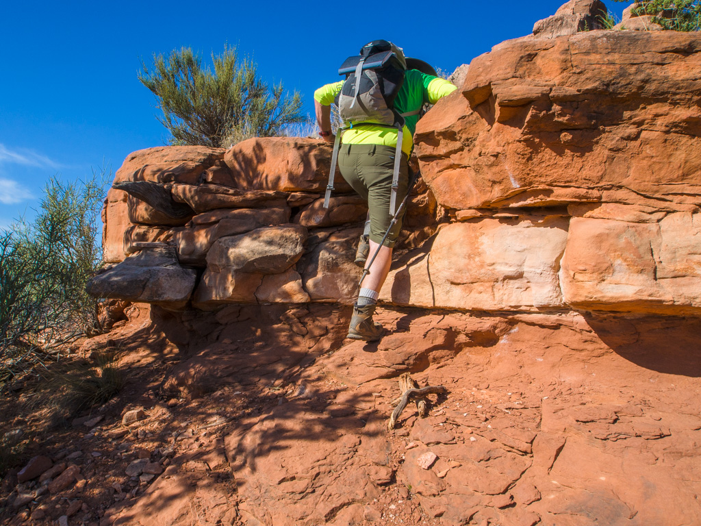
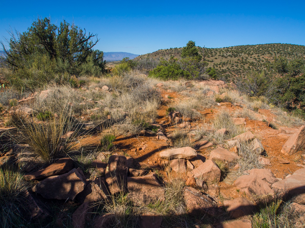
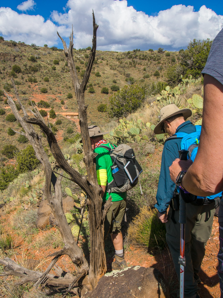
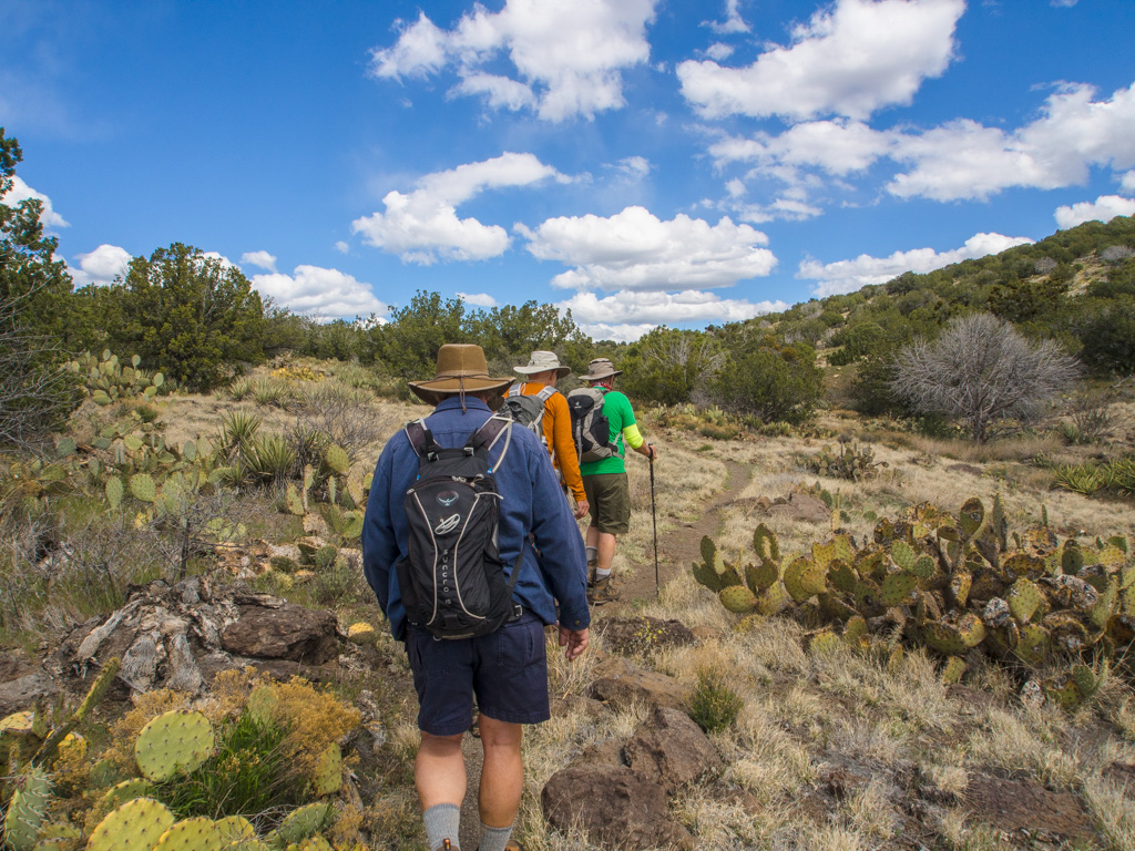
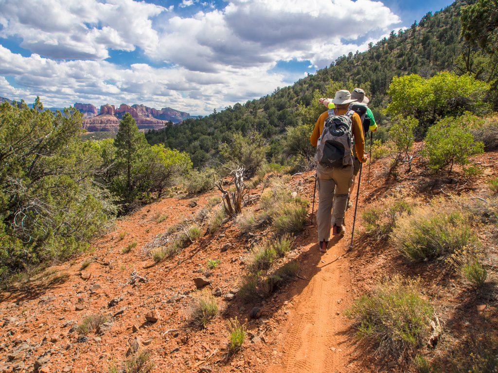
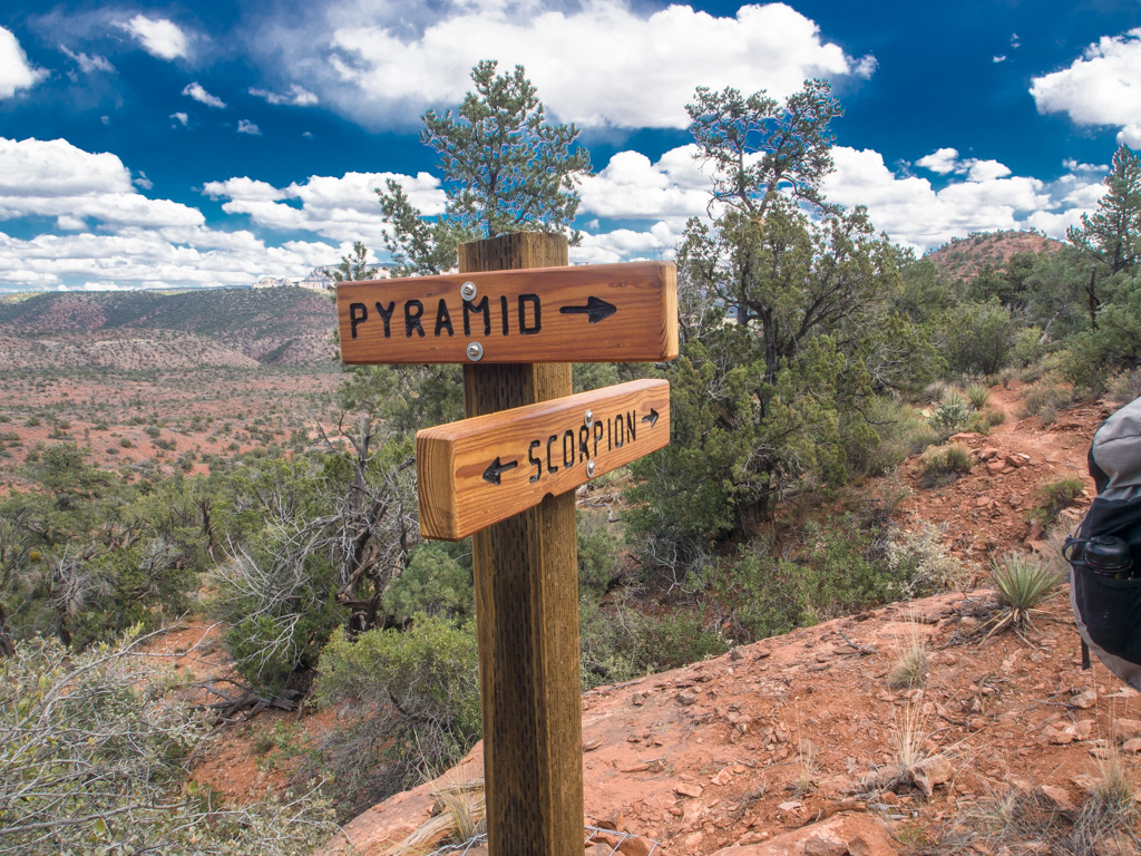
2 First, we climb the Pyramid at the end of the new Scorpion Trail
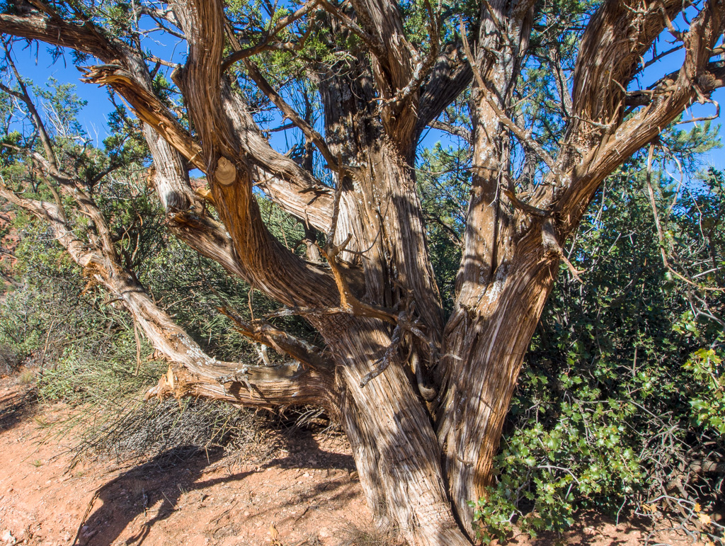
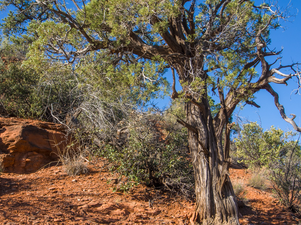
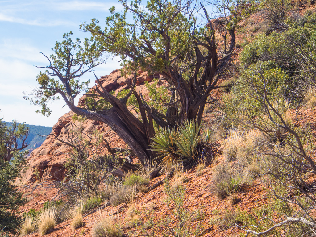
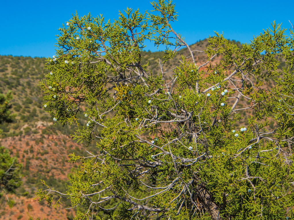
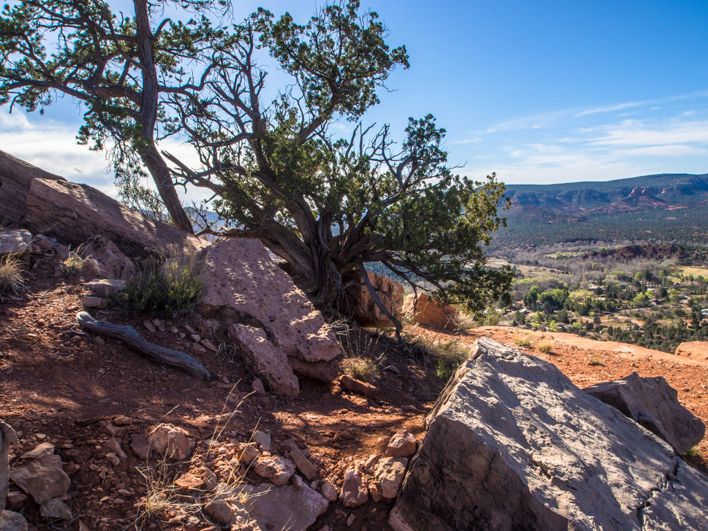
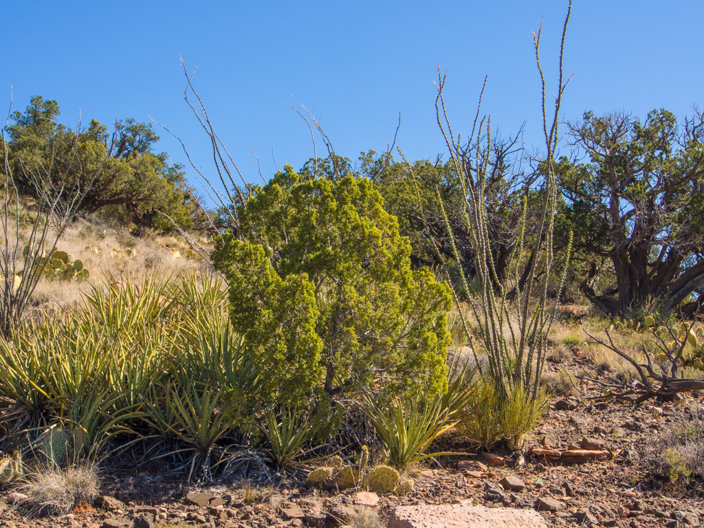
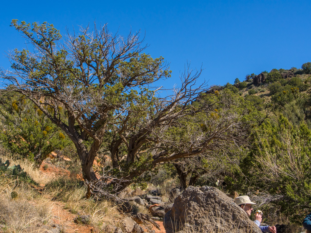
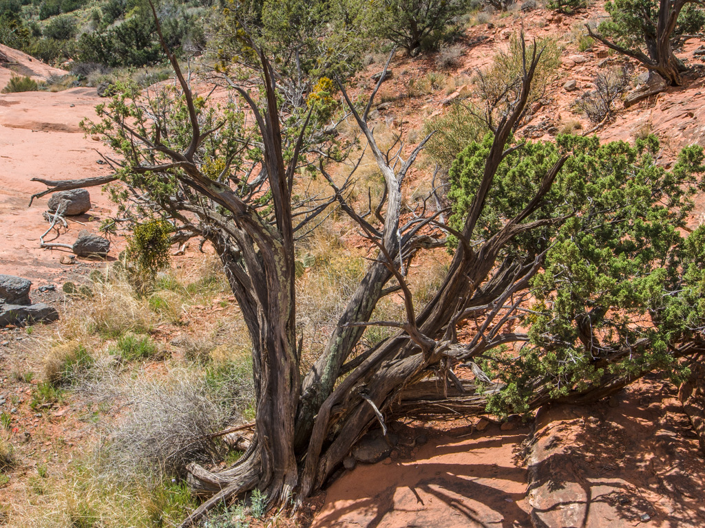
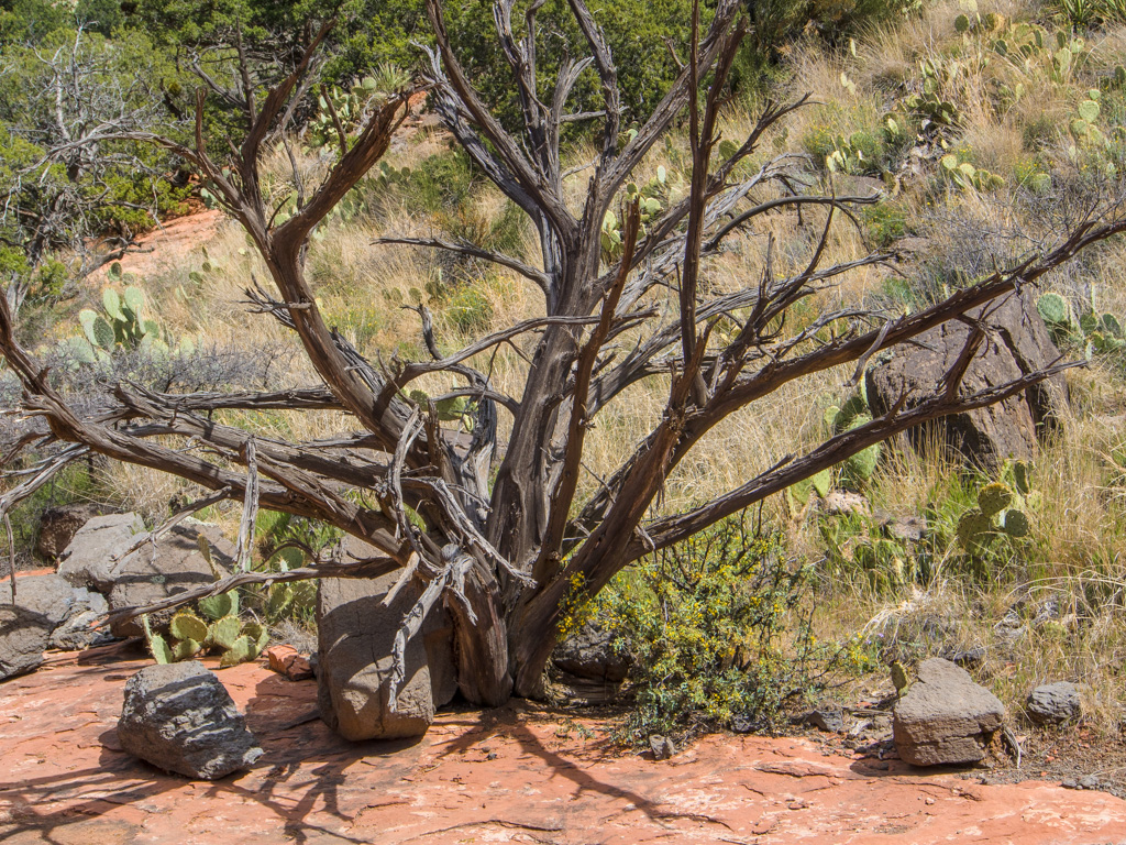
3 A shagbark juniper
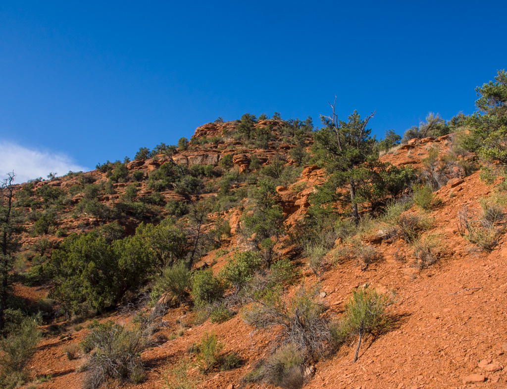
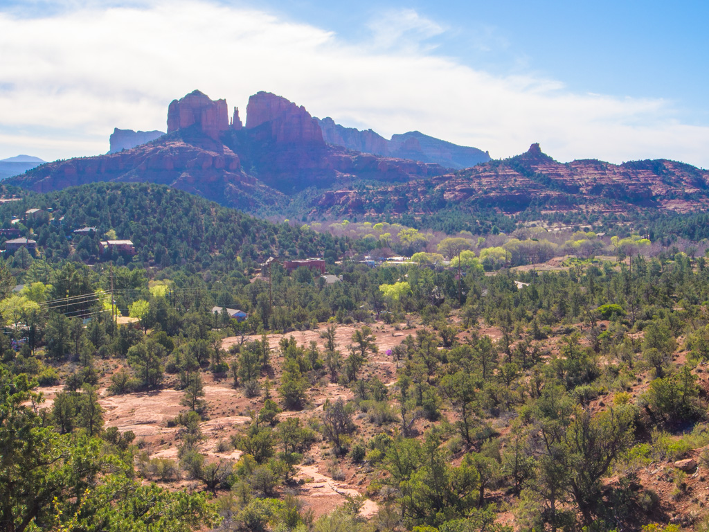
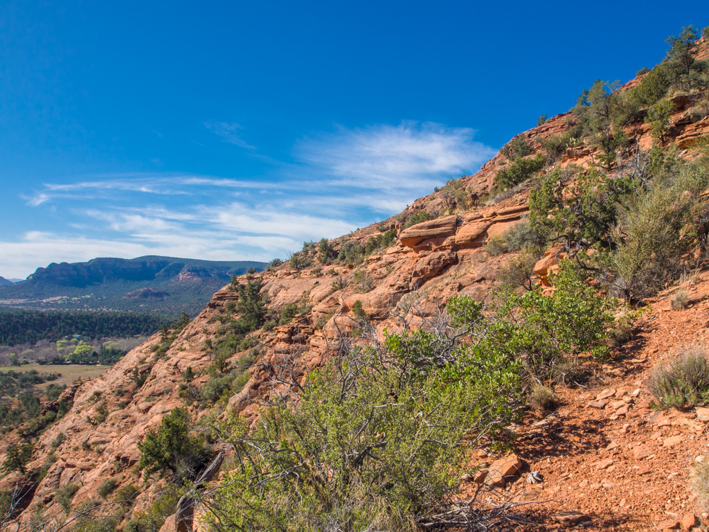
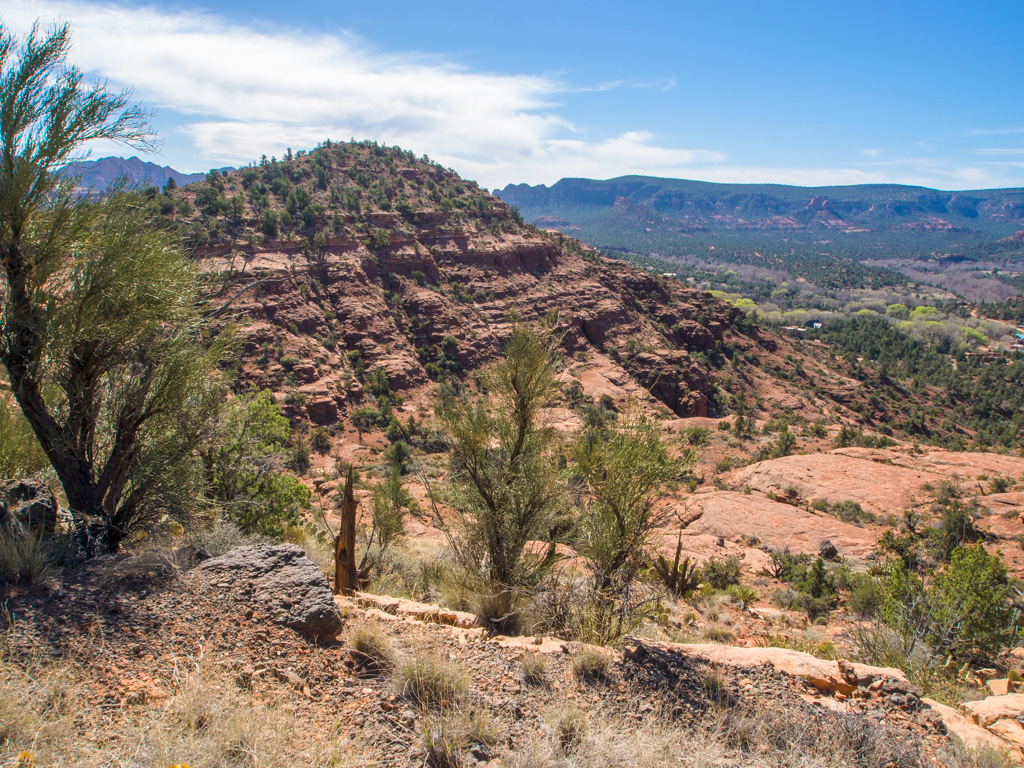
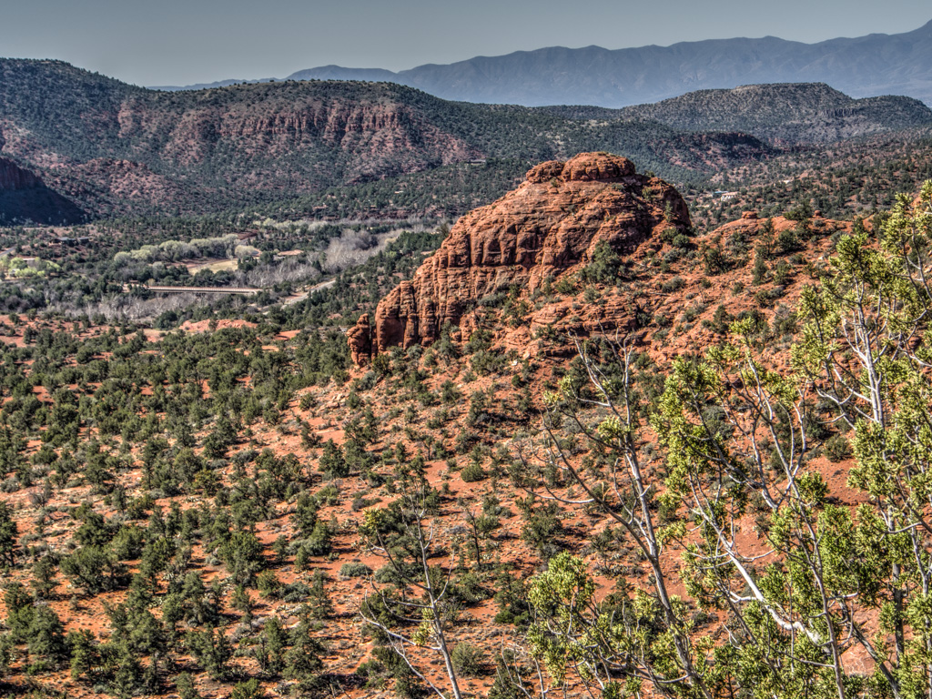
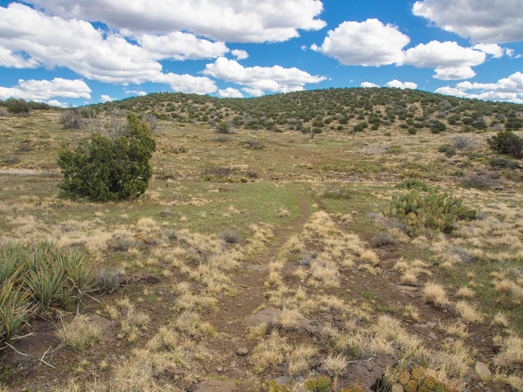
4 The Pyramid
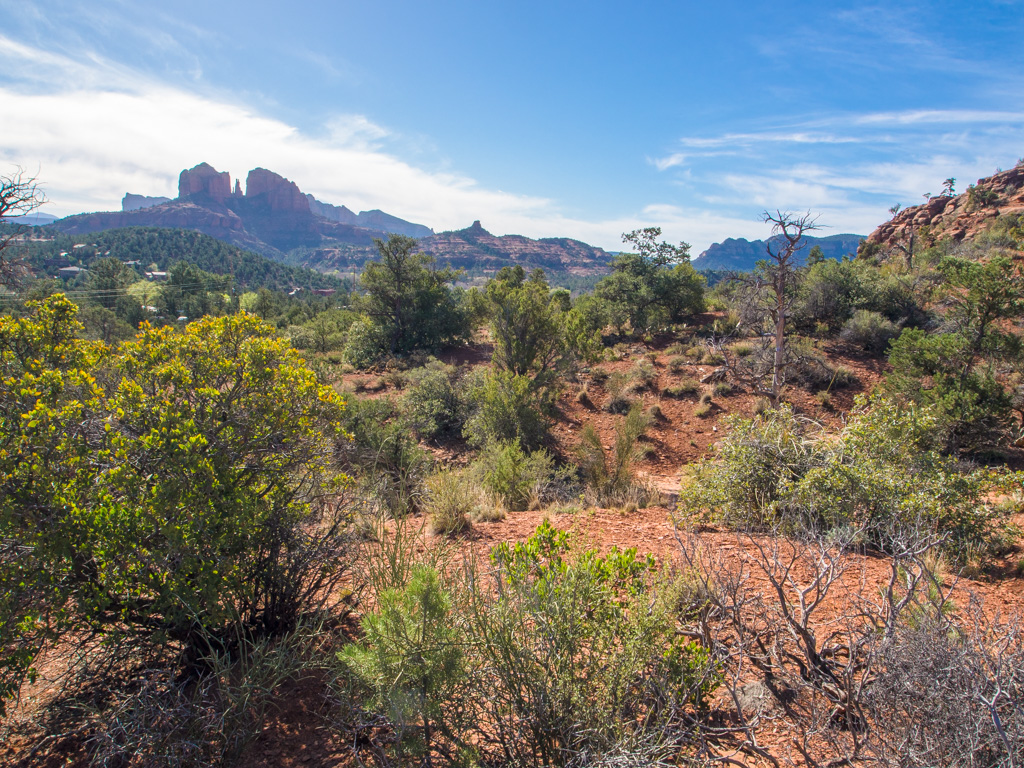
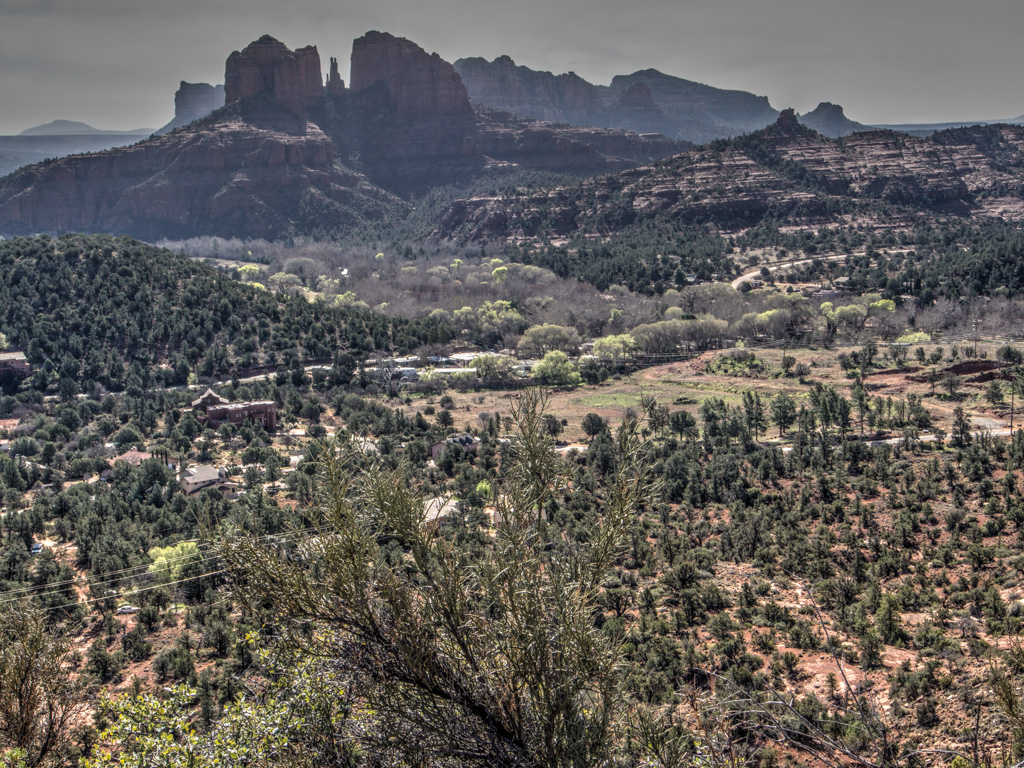
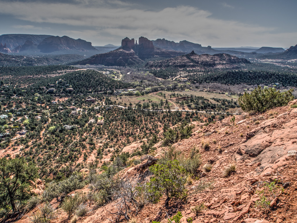
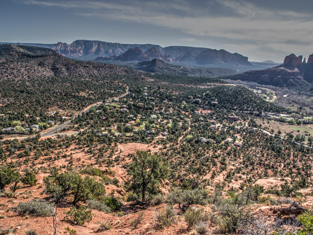
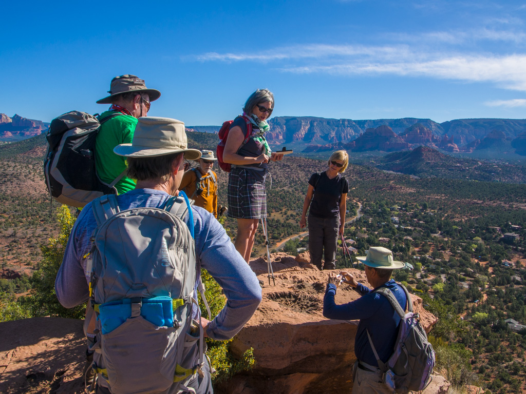
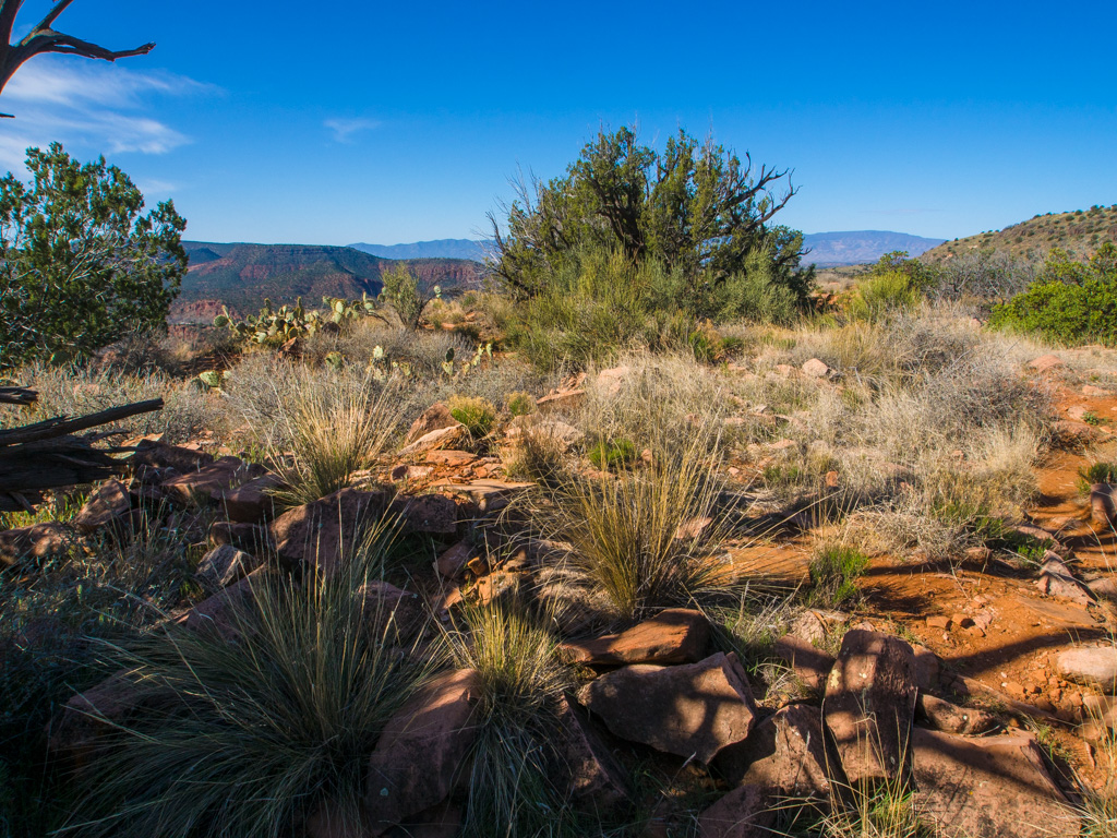
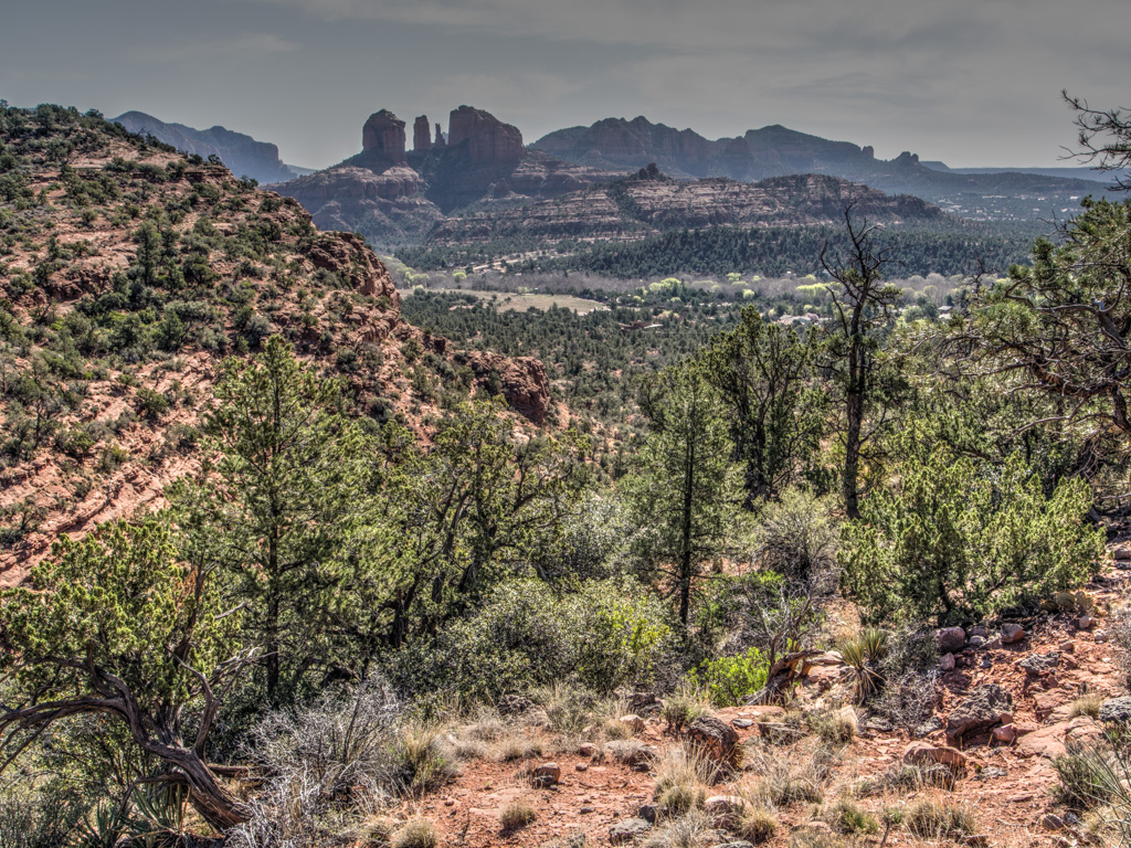
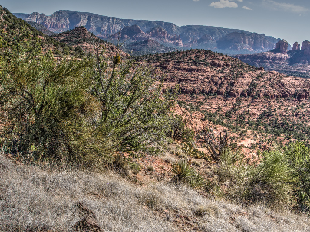
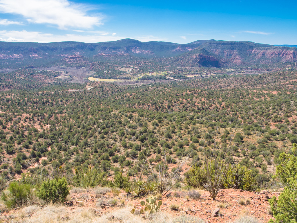
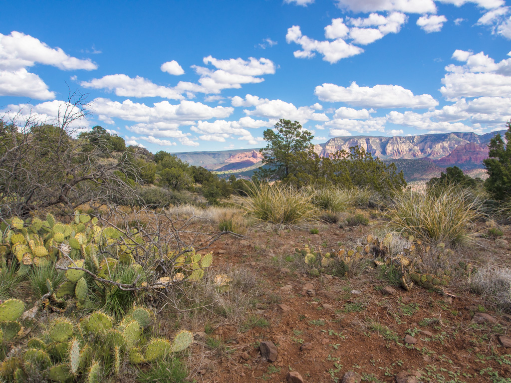
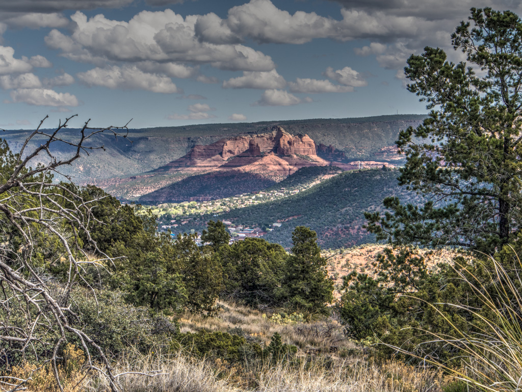
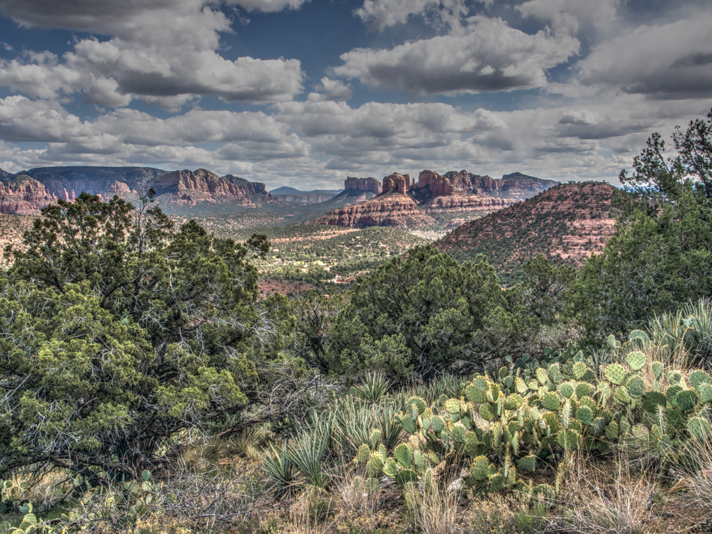
5 Getting views across to Cathedral
6
7
8
9 Napoleon's Tomb and Bell Rock
10
11
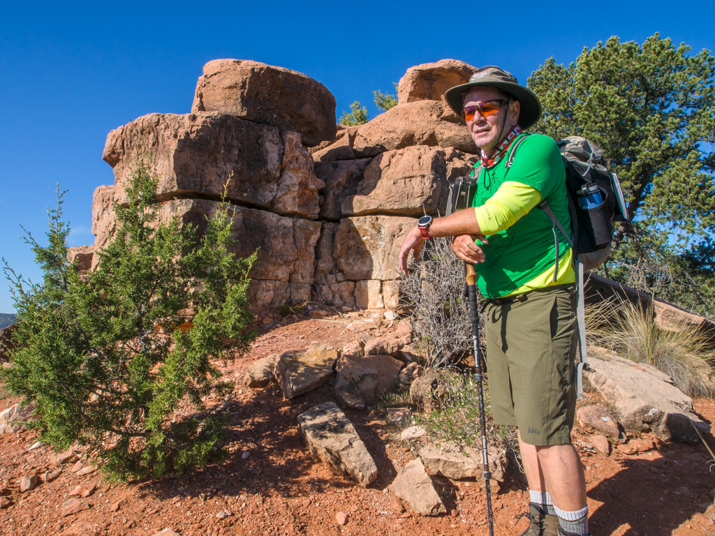
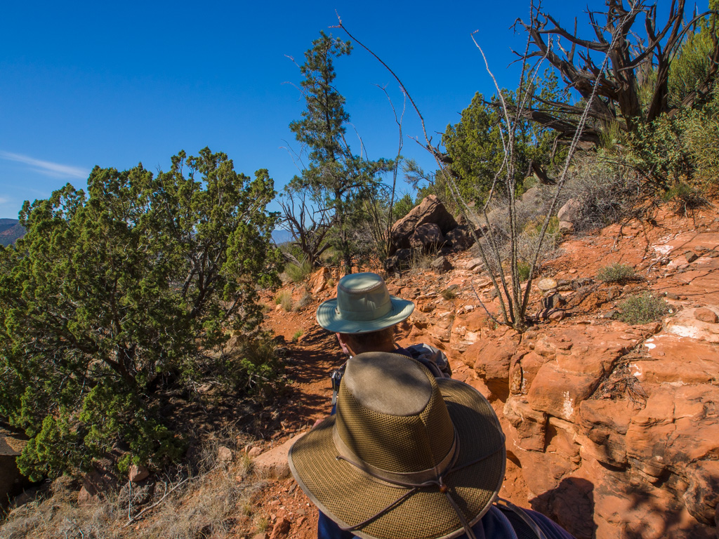
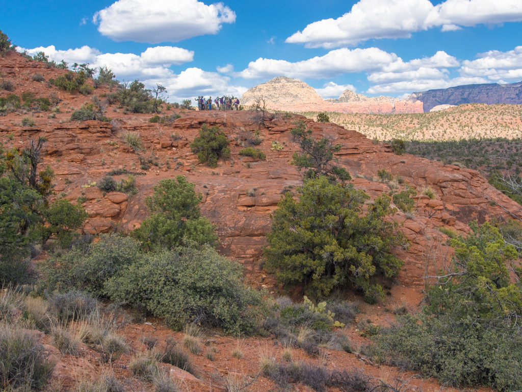
12 High on the Pyramid
13
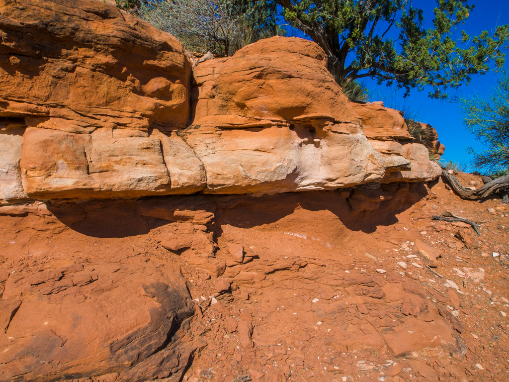
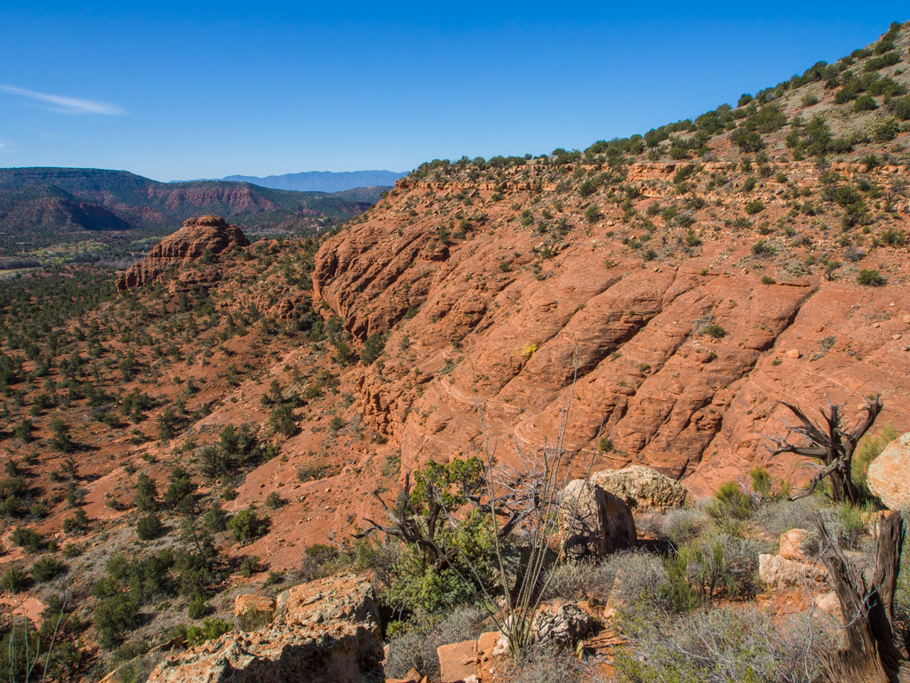
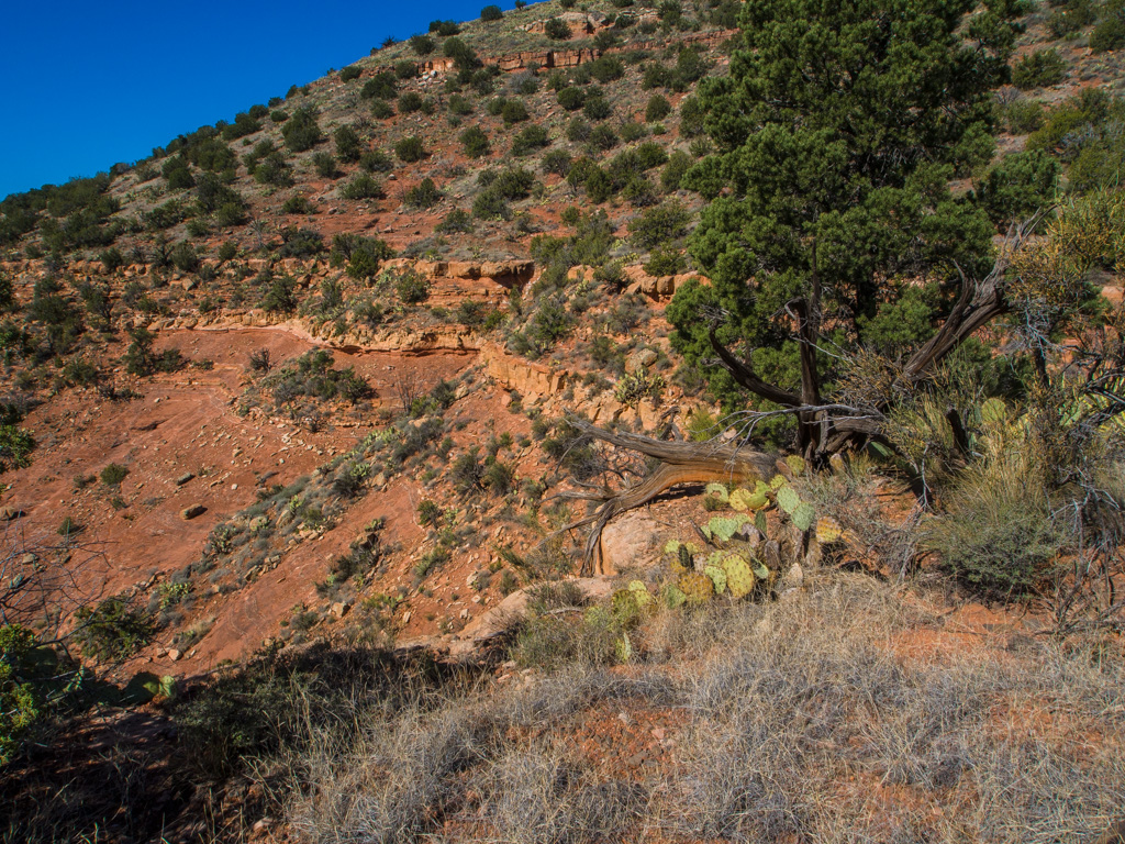
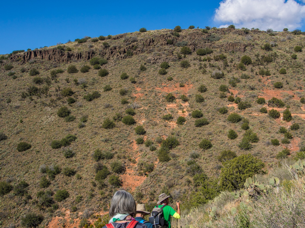
14 Crossing the Fort Apache Layer
15
16
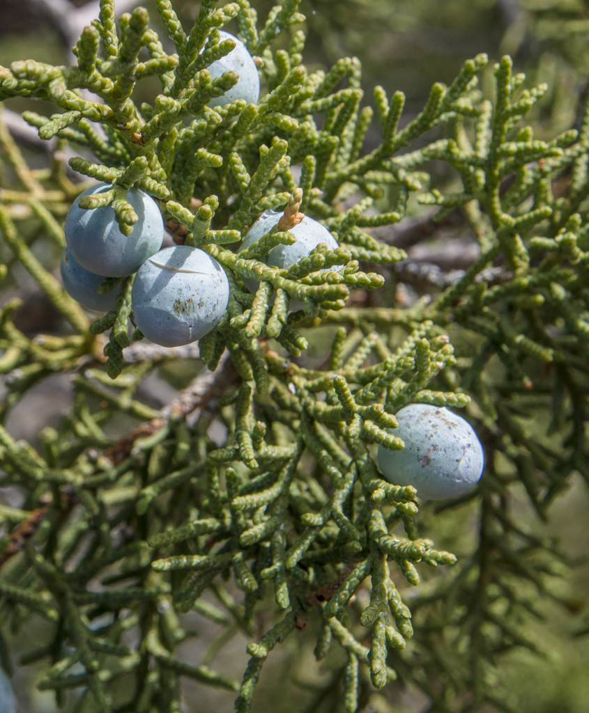
17 Fresh juniper berries
18 Black algae in limestone rain pits is facilitating erosion
19
20
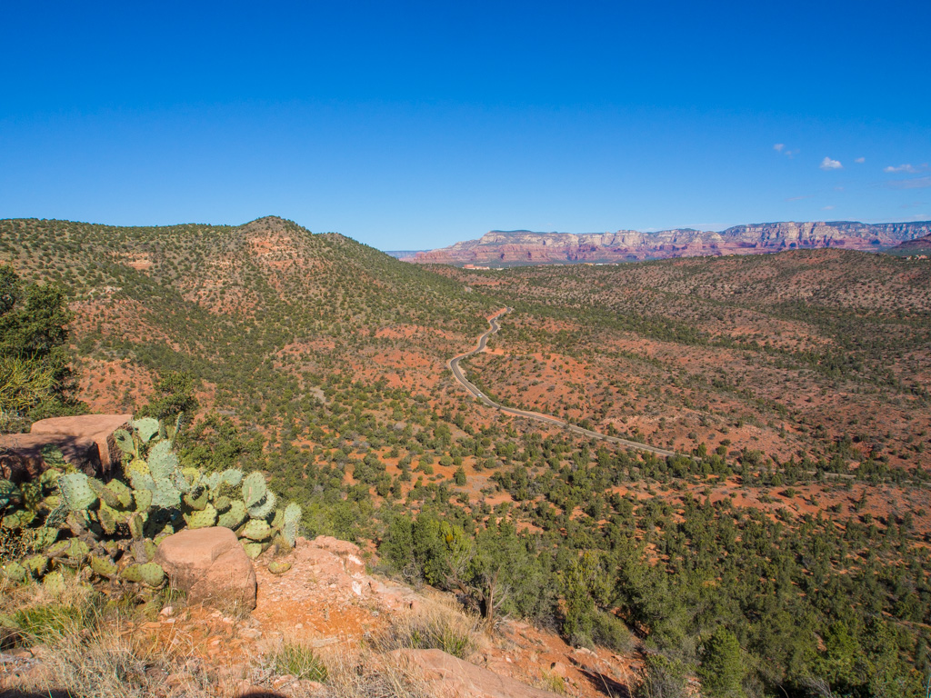
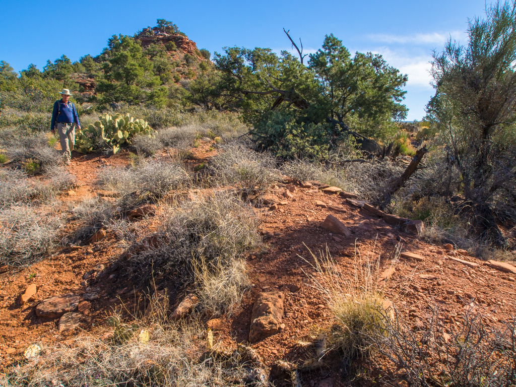
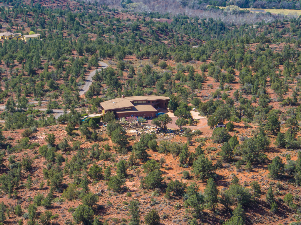
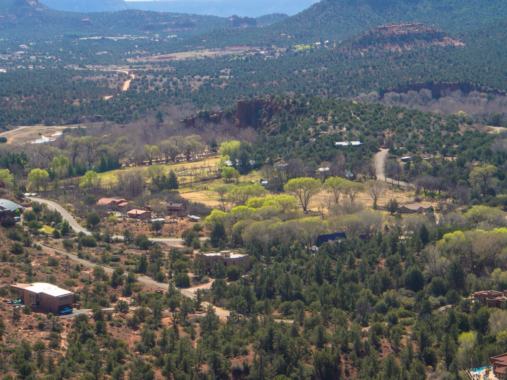
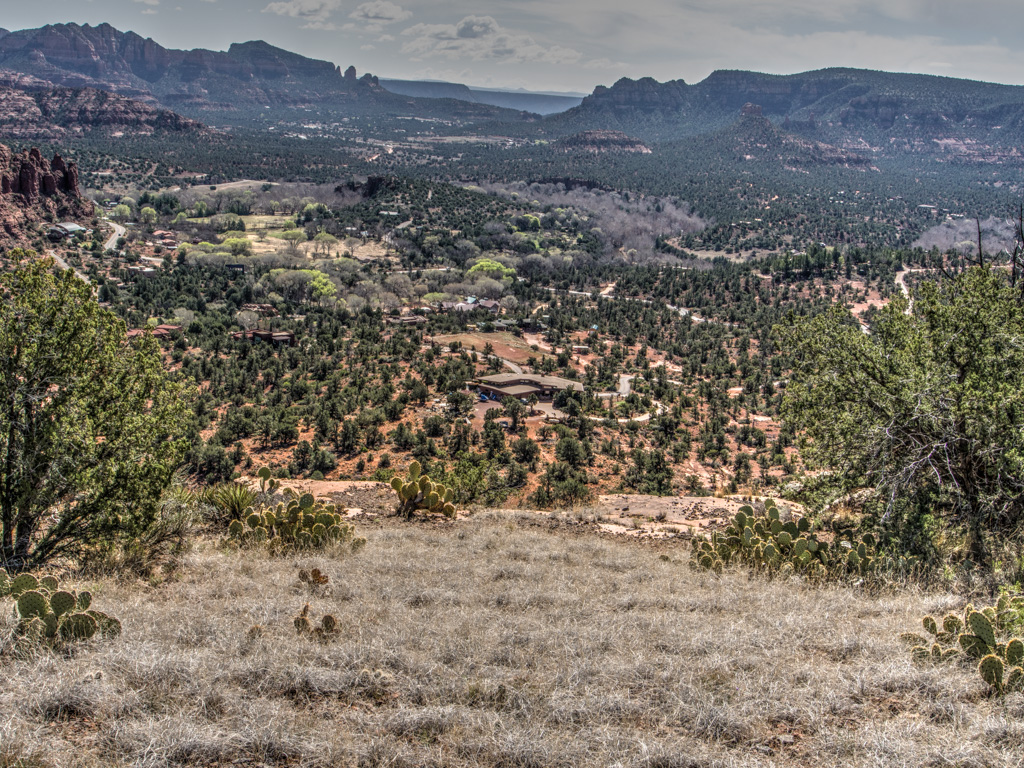
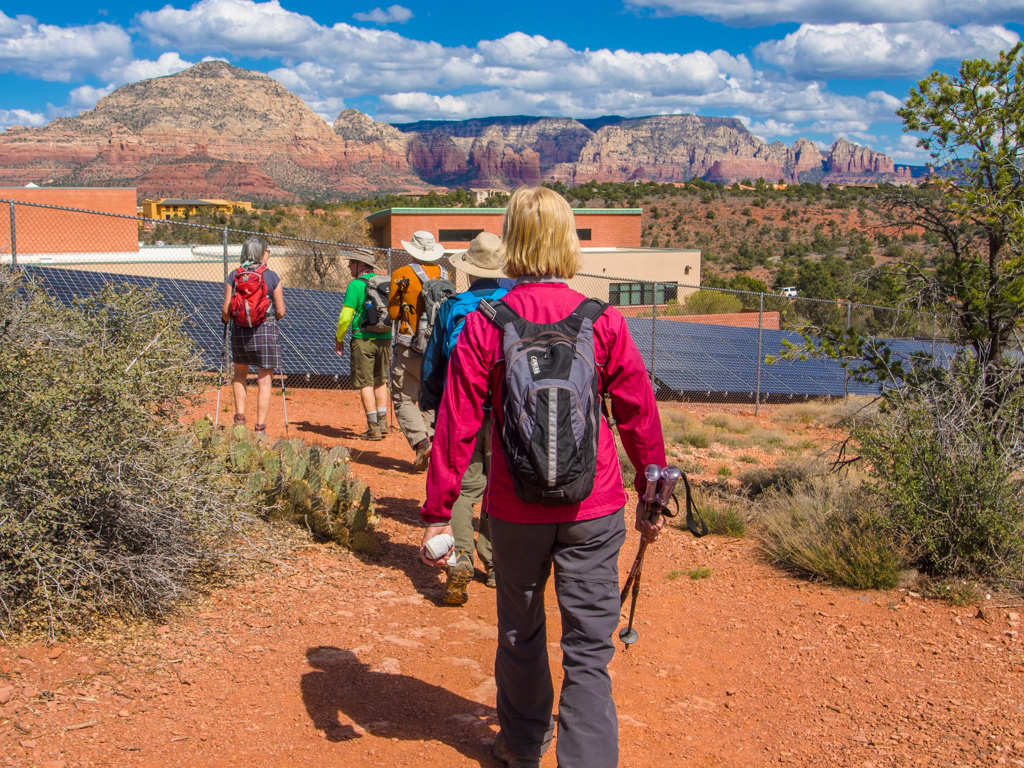
21 Loking back on the road toward the high school
22
23
24
25
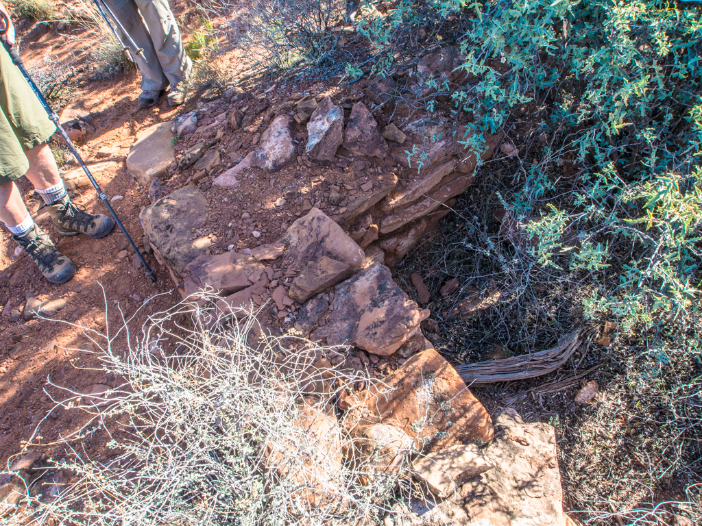
26 A pit house
27
28
29
30
31
32
33
34
35
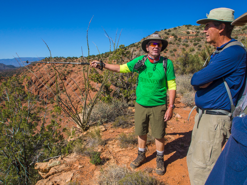
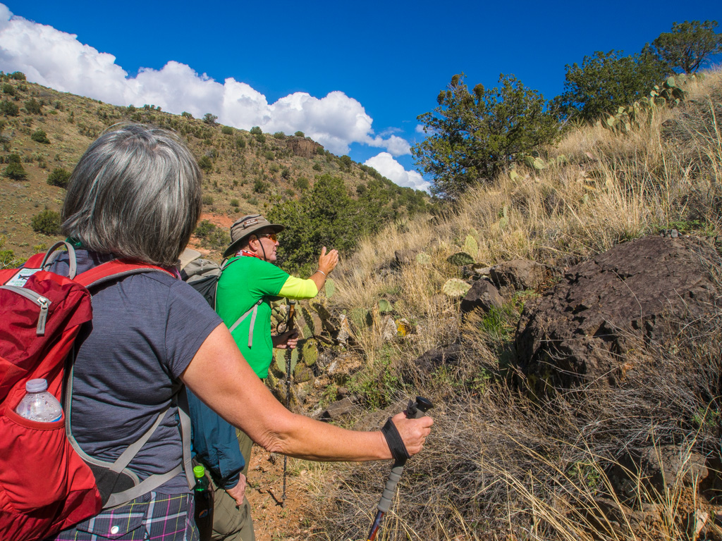
36 What is he collecting?
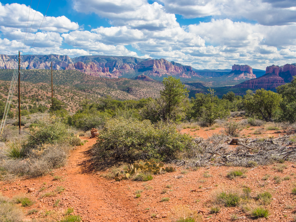
37 Looking over Oak Creek
38
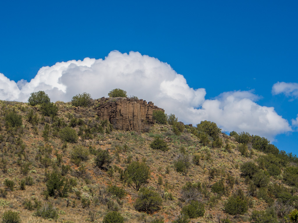
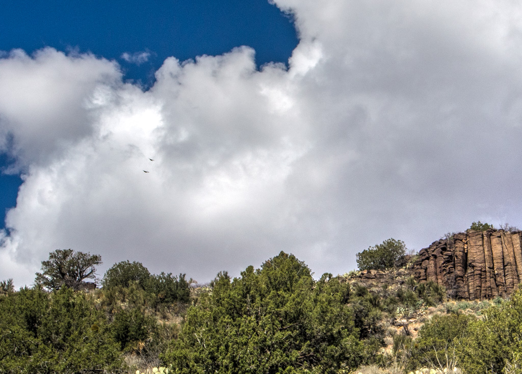
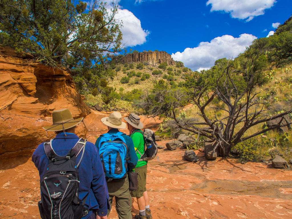
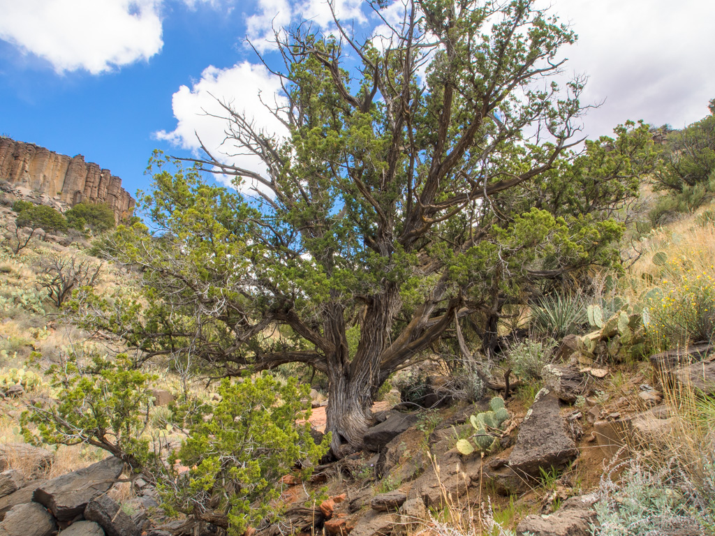
39 The first clouds of an incoming weather system form above the columnar basalt
40
41
42
43
44
45
46
47
48
49
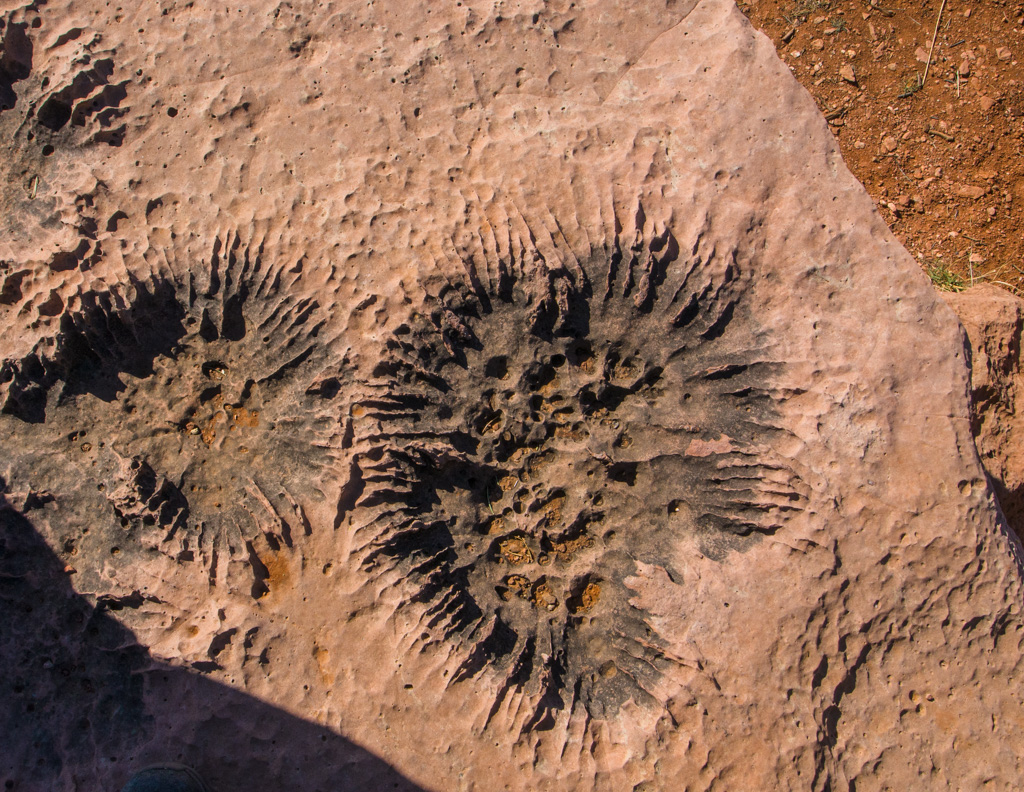
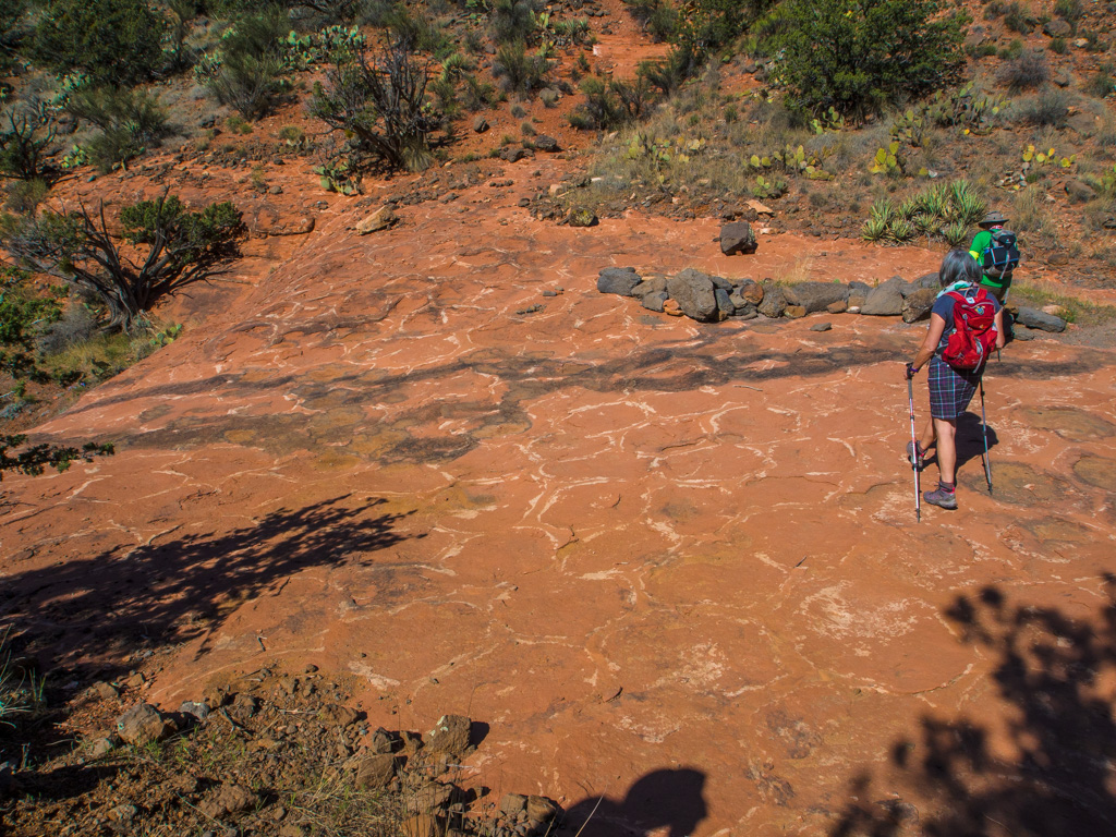
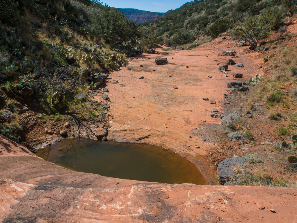
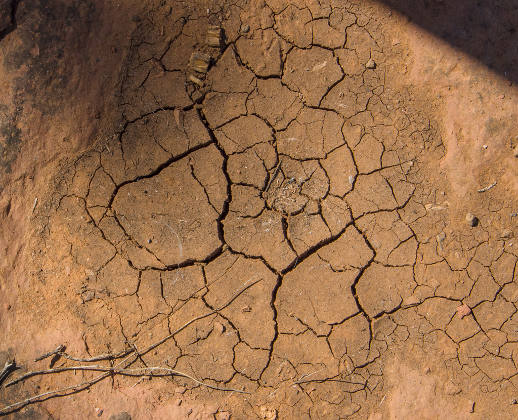
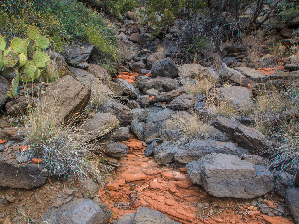
50 Polygons ('tesselated pavement') have formed in this wash
51
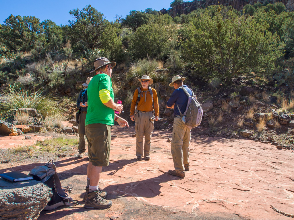
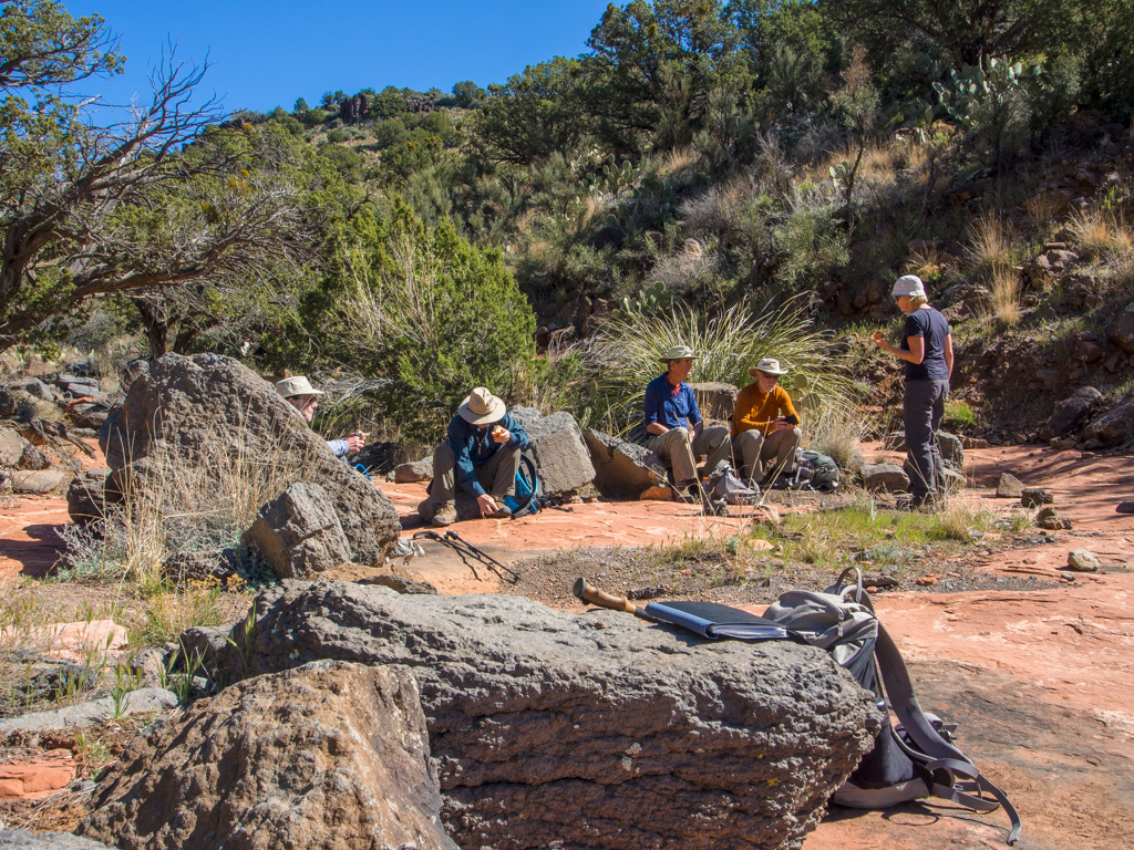
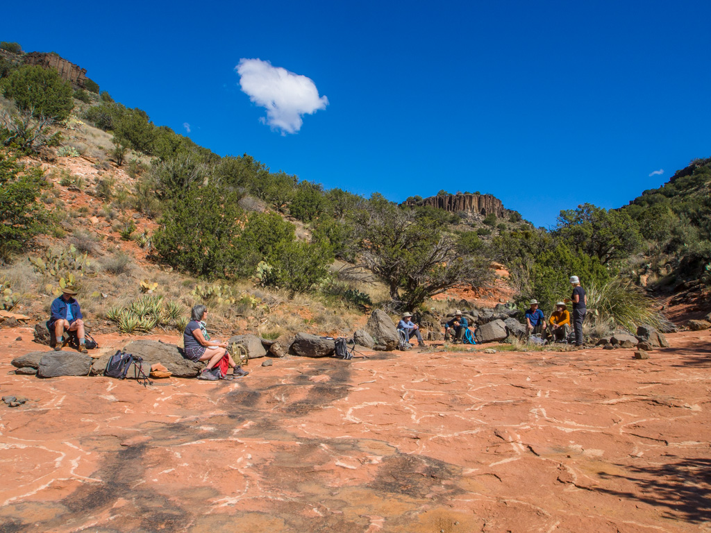
52 So this is where we stop for a break
53
54
55 A scour hole at the base of a fall
56
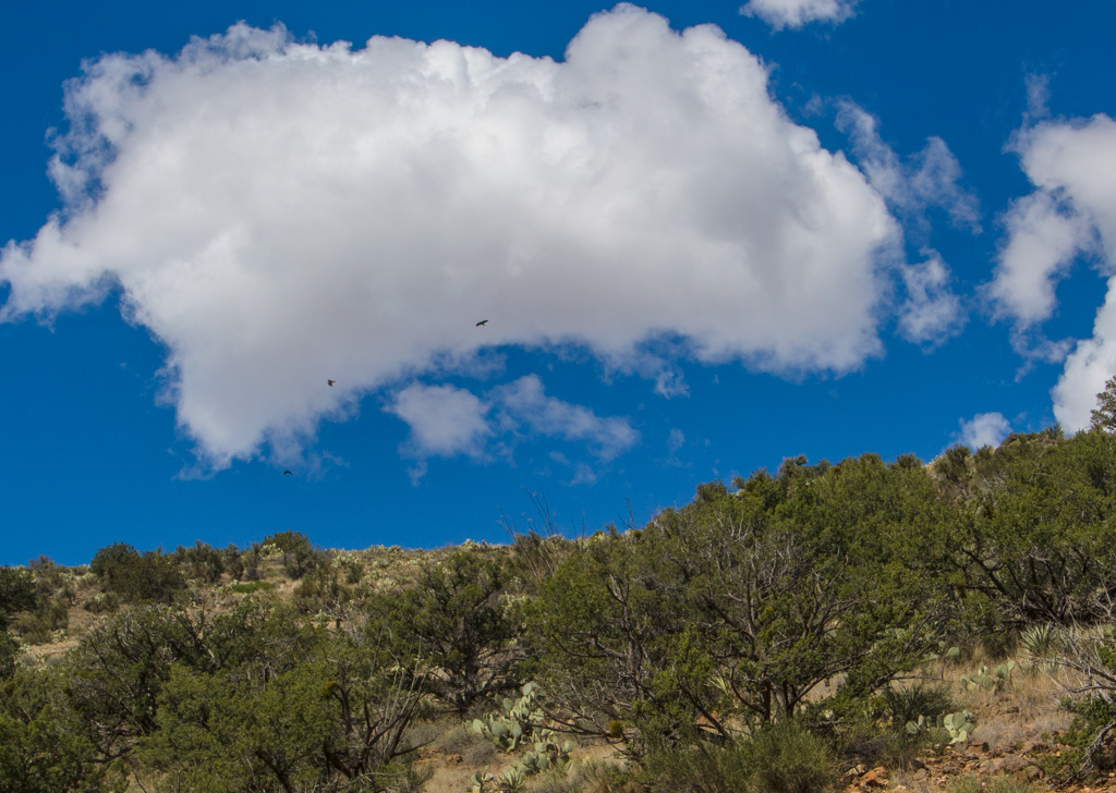
57 Hawks hang over the ridgeline
58
59
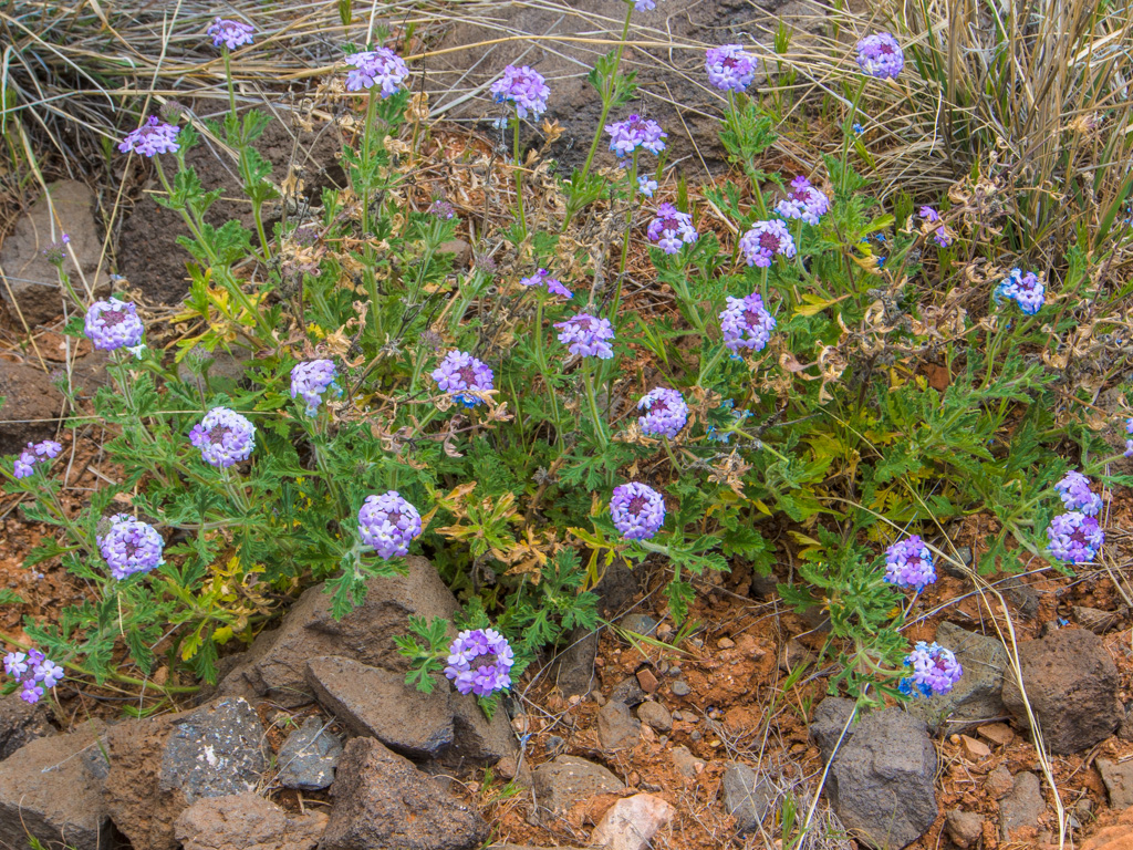
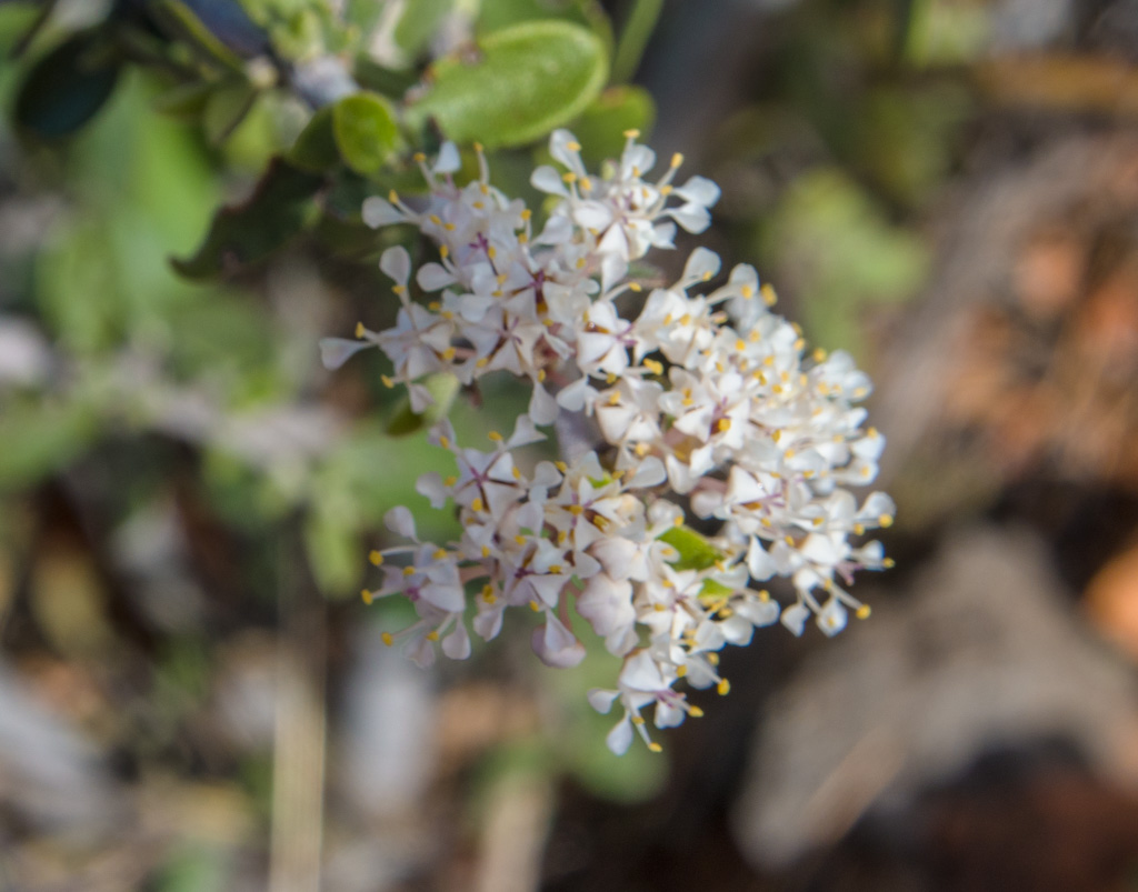
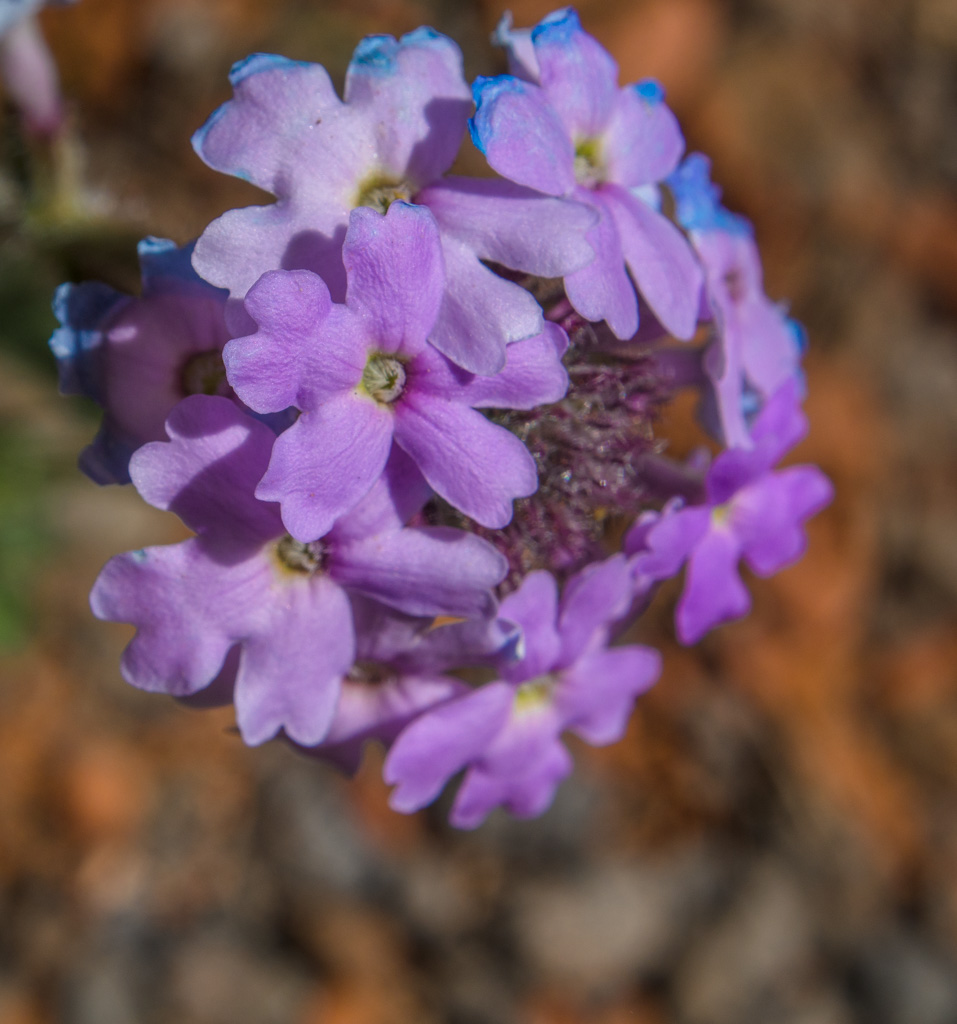
60 Verbena
61
62
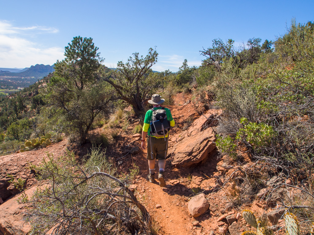
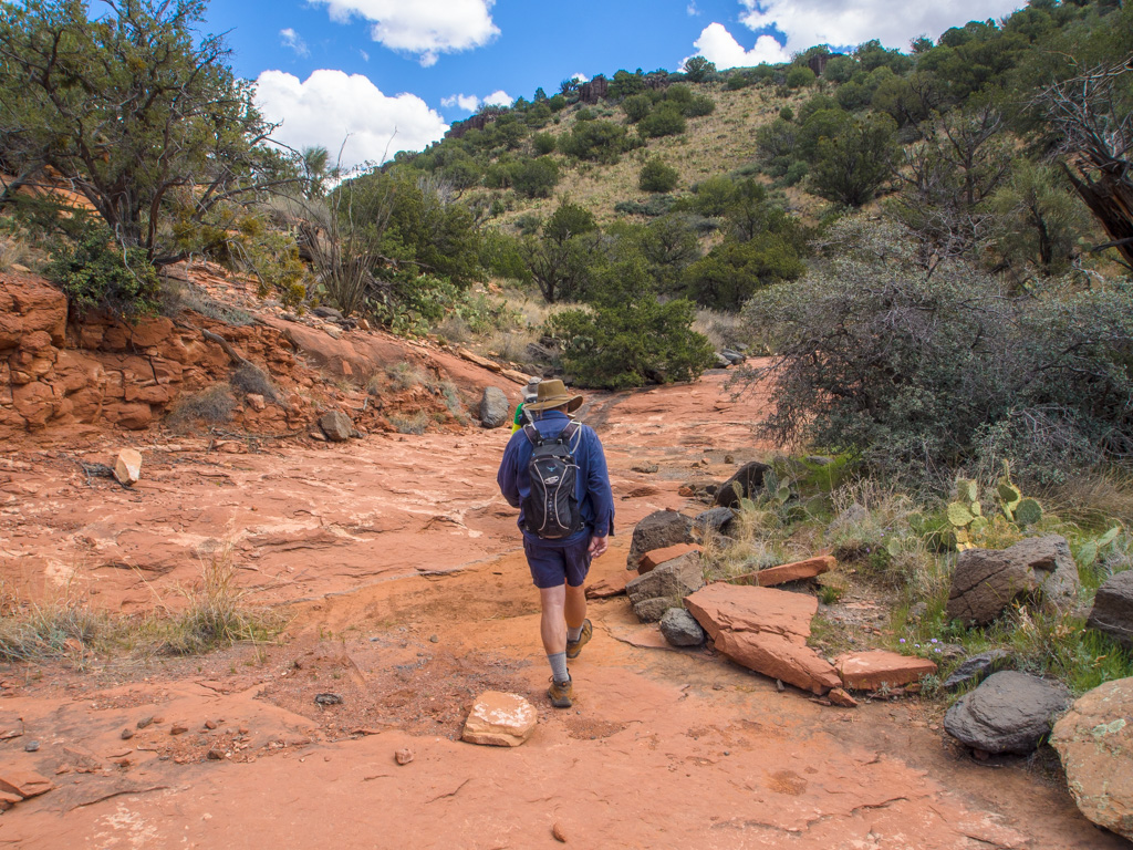
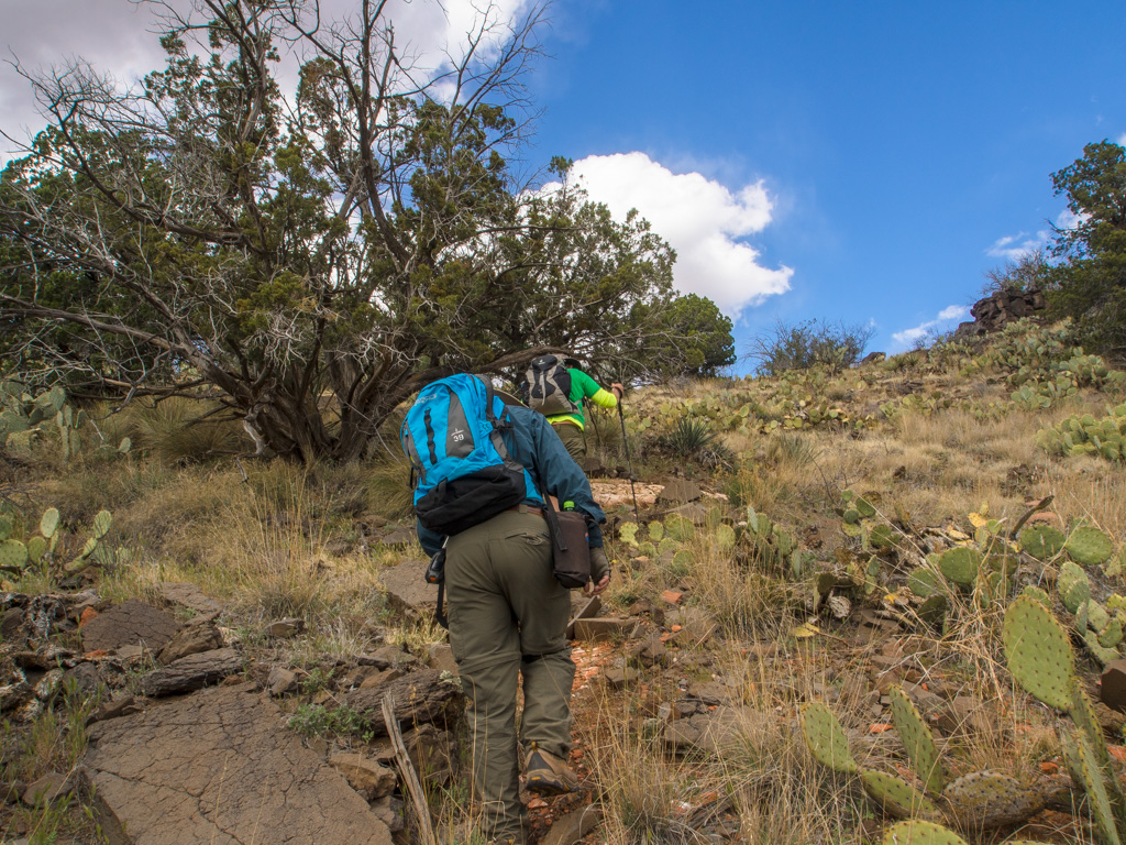
63 From here, we start up the wash toward Scheurmann Mountain
64
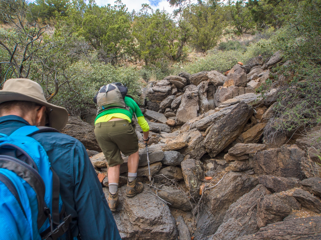
65 Basalt boulders coming down the wash
66
67
68
69 On top at Scheurmann Mountain, to join another public trail
70
71
72
73 We emerge back on the Sedona side, closer to the high school
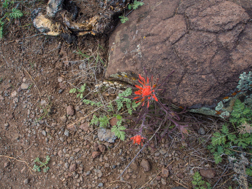
74 Indian painbrush
75 Fresh juniper
76
77 Verbena
78 The trail takes us tothe high school and its large solar array...
79
80 ...From which we take the Scorpion Trail to return